25% off on Online courses - 15% off on In-person courses, Use code: KSA96
at checkout. Terms and Conditions apply

Loading your future
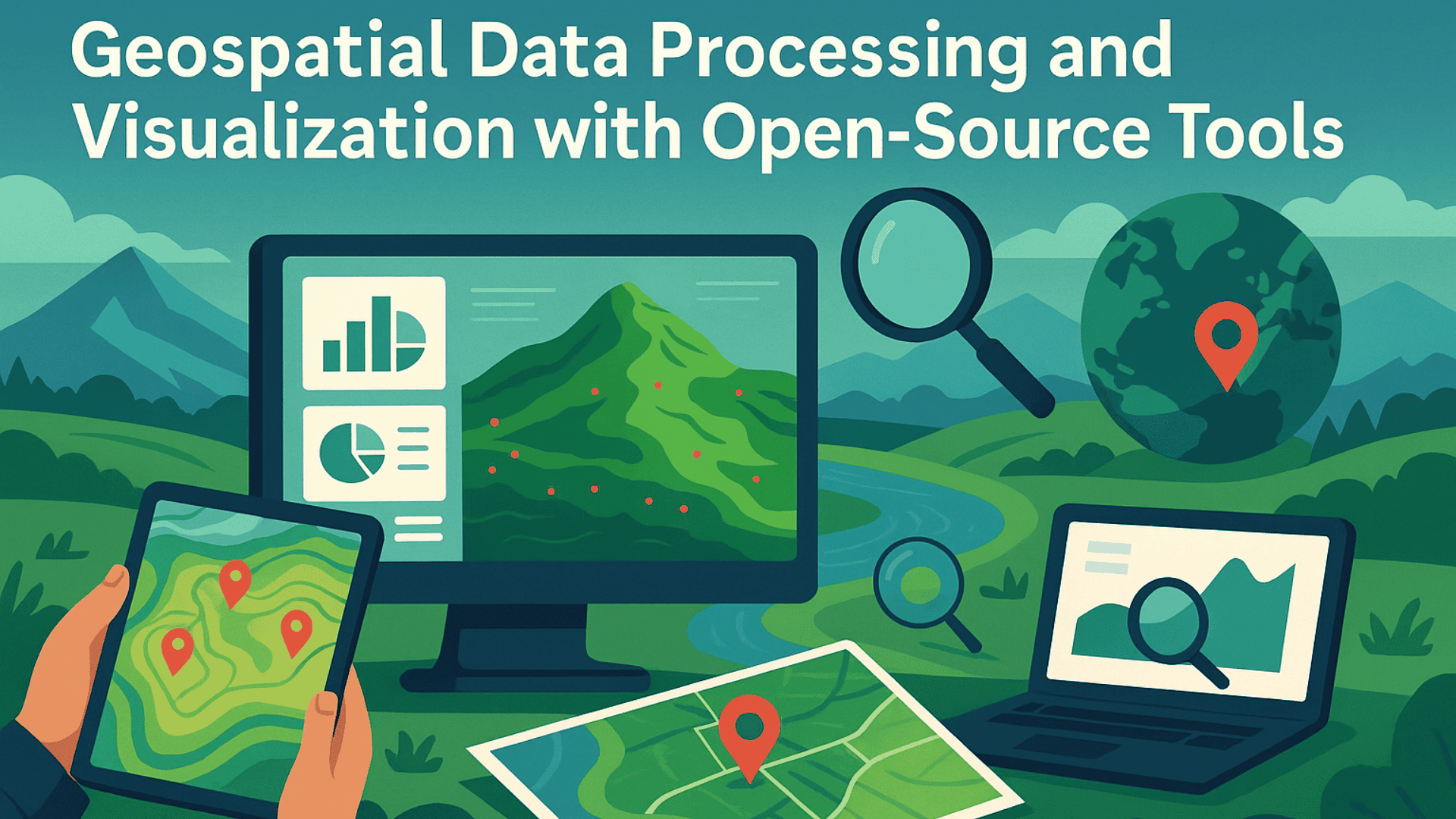
This workshop gives participants a working command of open-source geospatial tools through hands-on, applied exercises drawn from real project scenarios. Covering everything from raw data ingestion to web-ready map publishing, the program is designed for professionals who need practical geospatial skills without the licensing costs of proprietary software. Participants leave with repeatable workflows they can apply immediately across infrastructure, planning, and field survey projects.
English - Online
 200
200
No prerequisites needed
 FAQs
FAQs
The prerequisites for this course are:
No, all necessary equipment including drones will be provided during the training. However, if you have your own drone and would like to learn using it, you're welcome to bring it along.
The course combines theoretical classroom sessions with hands-on practical exercises. You'll learn the principles and then immediately apply them in real-world scenarios. The 1 Day are divided into focused learning modules covering all the topics outlined in the curriculum.
Yes, upon successful completion of the course, you will receive a certificate from FalconViz Academy. This certificate demonstrates your proficiency in the skills covered during the training.
Yes, we offer special rates for group enrollments. Please contact our admissions team for more information about group discounts and corporate training packages.

FalconViz Academy: Your Gateway to Cutting Edge Careers. Build Expertise in Emerging Technologies.
Copyright © FalconViz Academy All Rights Reserved