To give participants a solid technical understanding of drone-based mapping workflows - from mission planning logic and hardware selection through to data processing and GIS deliverables. This online workshop is designed for professionals looking to understand how drone mapping works end-to-end, interpret outputs, and engage confidently with mapping projects across surveying, construction, urban planning, and environmental monitoring.
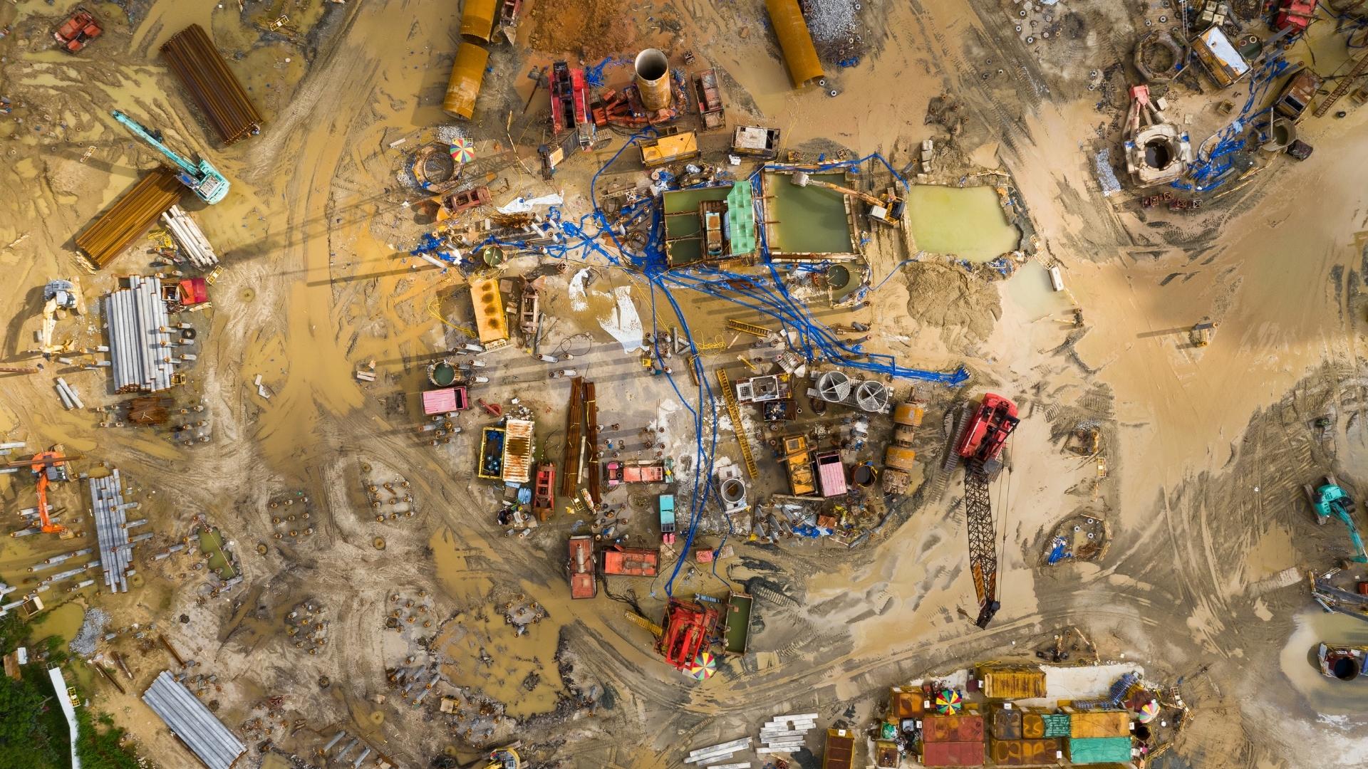
Drone mapping sits at the core of the geospatial industry's shift toward faster, more cost-effective data collection - and demand for professionals who understand this workflow is growing across engineering firms, construction companies, government agencies, and environmental consultancies.
This 4-hour workshop gives you the technical literacy to operate in that space. It's suited to GIS analysts who want to understand where their data comes from, survey technicians looking to add drone-based workflows to their skill set, and engineers or project managers who commission mapping work and need to evaluate it intelligently.
Online
 200
200
No prerequisites needed
The prerequisites for this course are:
No, all necessary equipment including drones will be provided during the training. However, if you have your own drone and would like to learn using it, you're welcome to bring it along.
The course combines theoretical classroom sessions with hands-on practical exercises. You'll learn the principles and then immediately apply them in real-world scenarios. The 1 Day are divided into focused learning modules covering all the topics outlined in the curriculum.
Yes, upon successful completion of the course, you will receive a certificate from FalconViz Academy. This certificate demonstrates your proficiency in the skills covered during the training.
Yes, we offer special rates for group enrollments. Please contact our admissions team for more information about group discounts and corporate training packages.
FalconViz Academy: Your Gateway to Cutting Edge Careers. Build Expertise in Emerging Technologies.
Copyright © FalconViz Academy All Rights Reserved